Route Atlas — Kashmir
The road climbs
before the view does.
Every mountain pass, valley crossing, and forest drive in Kashmir — mapped by distance, elevation, and the stops worth slowing down for.
Routes mapped
14
Highest pass
11,575ft · Zoji La
Longest drive
434km · Leh road
Every route, by distance
No two drives climb the same way. Scan by duration, elevation gain, or how demanding the road gets.
14 ROUTESSORTED BY DISTANCE
01
Srinagar to Doodhpathri
One road, one steady climb into the meadow.
43.5km
1.5hdrive
Easy
02
Srinagar to Chrar-e-Sharief
Pine forest into open meadow.
47km
2hdrive
Easy
03
Srinagar to Sonamarg
Glacier valley, high meadow air.
80km
2.5hdrive
Moderate
04
Srinagar to Gulmarg
Switchbacks through deodar forest.
56km
1.5hdrive
Easy
05
Srinagar to Leh
The high pass into Ladakh.
434km
2ddrive
Demanding
Route 01 · Opened on click from index
Srinagar → Yusmarg
EASYAPR – OCT47 KM
Elevation profile1,585m → 2,396m
About this drive
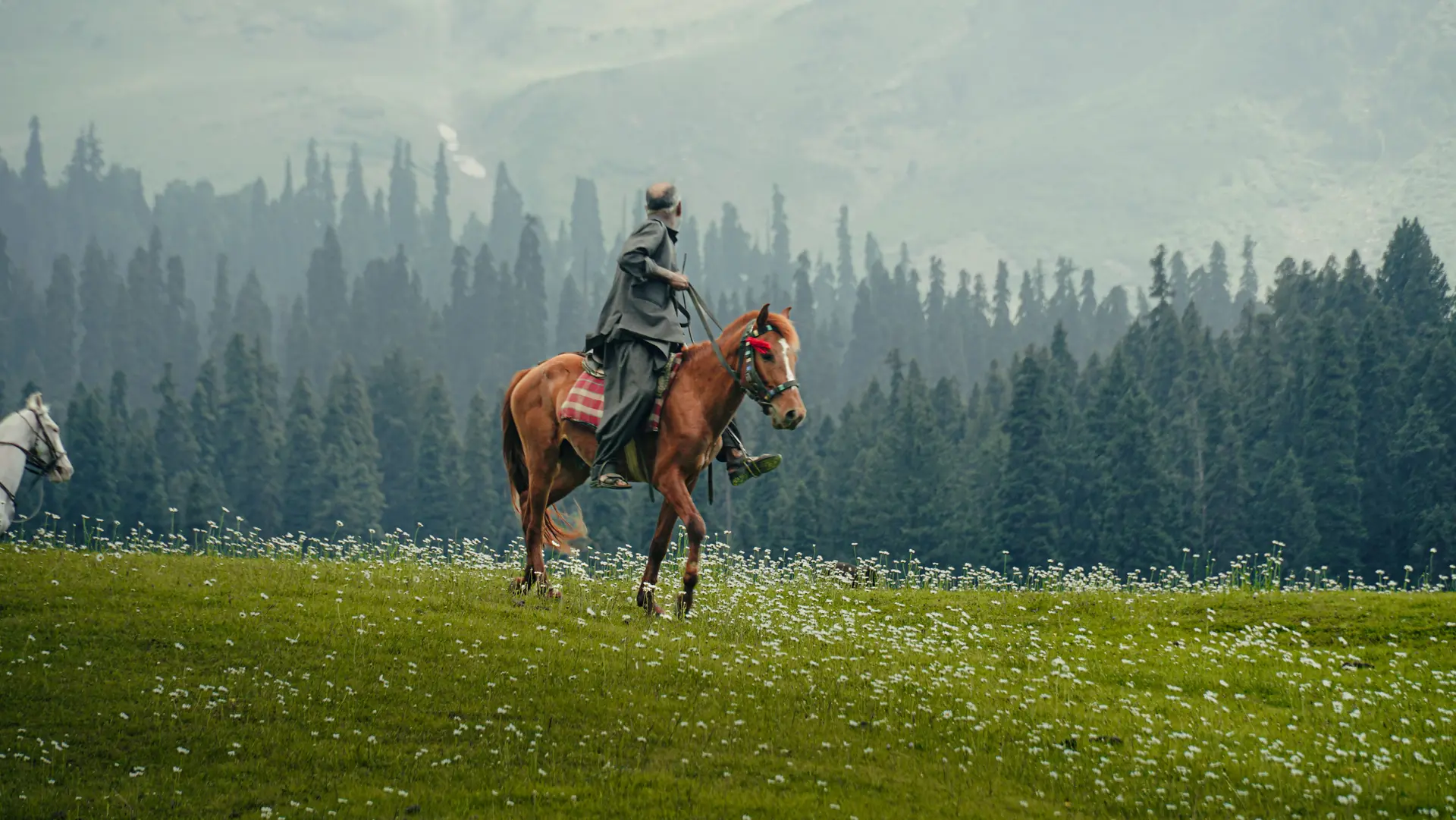
The road out of Srinagar climbs slowly at first, threading through pine forest before the grade steepens past Chrar-e-Sharief. Traffic thins here, and the last stretch runs beside a shallow stream into the open meadow that gives Yusmarg its name — the "Meadow of Gold."
The Nilnag Lake detour adds real elevation in a short distance; skip it after rain, when the unpaved final kilometre turns to clay.
Road conditionPaved · single lane near the shrine
FuelLast pump in Srinagar — none en route
Mobile networkDrops past km 28 — carry offline maps
Where to stopDhabas at Chrar-e-Sharief for Kashmiri tea
Avoid inHeavy monsoon — final km turns to clay